Rendering by WXY
The QueensWay study blends thoughtful design with community insight to transform a long-abandoned rail line into a vibrant green corridor, offering a replicable model for turning overlooked land into public space.
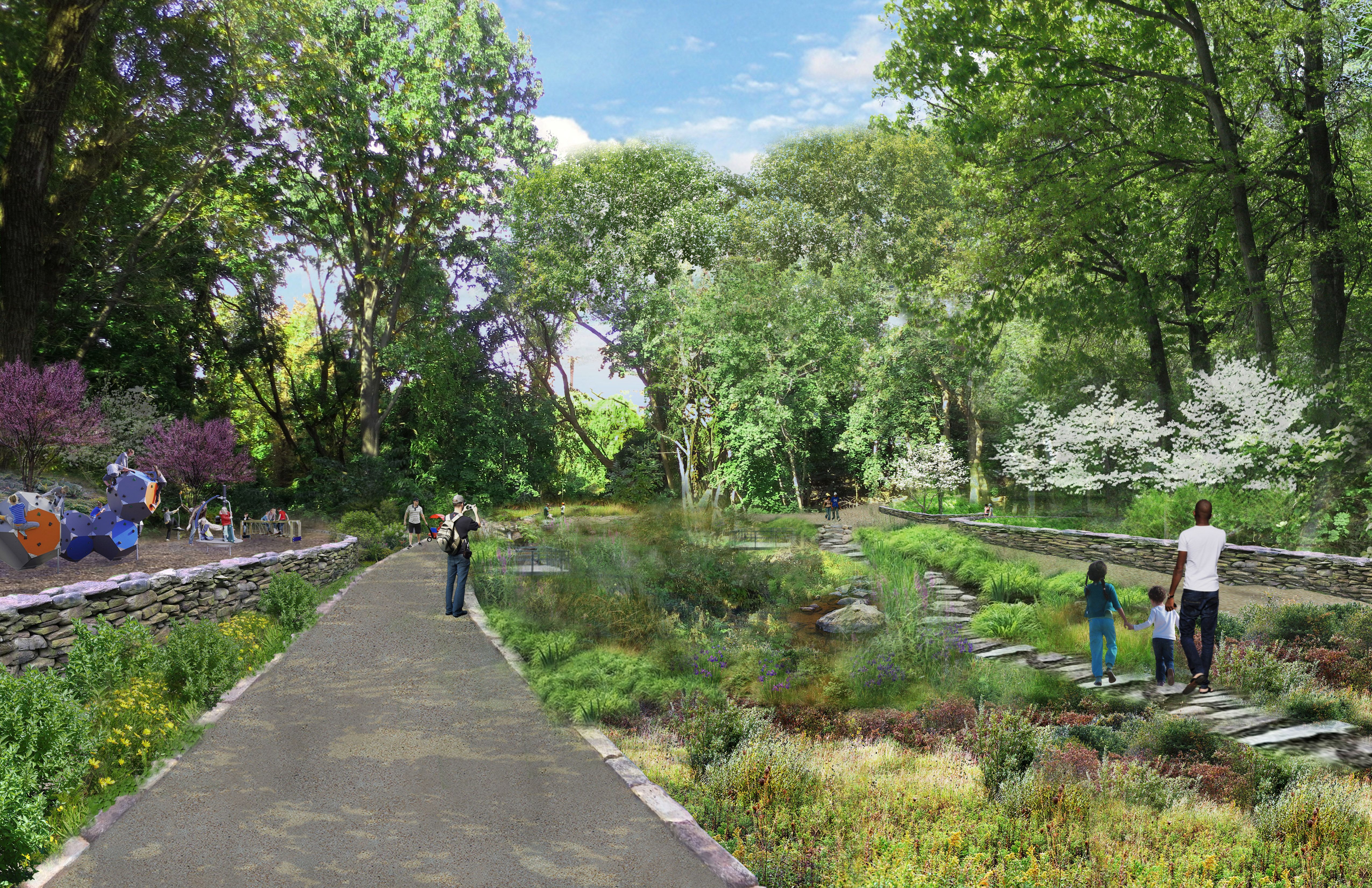
Through studying the site, it was found that while Queens had plenty of demand for public spaces and cultural programming, such opportunities were rare due to a deficiency in open space.
Rendering by WXY
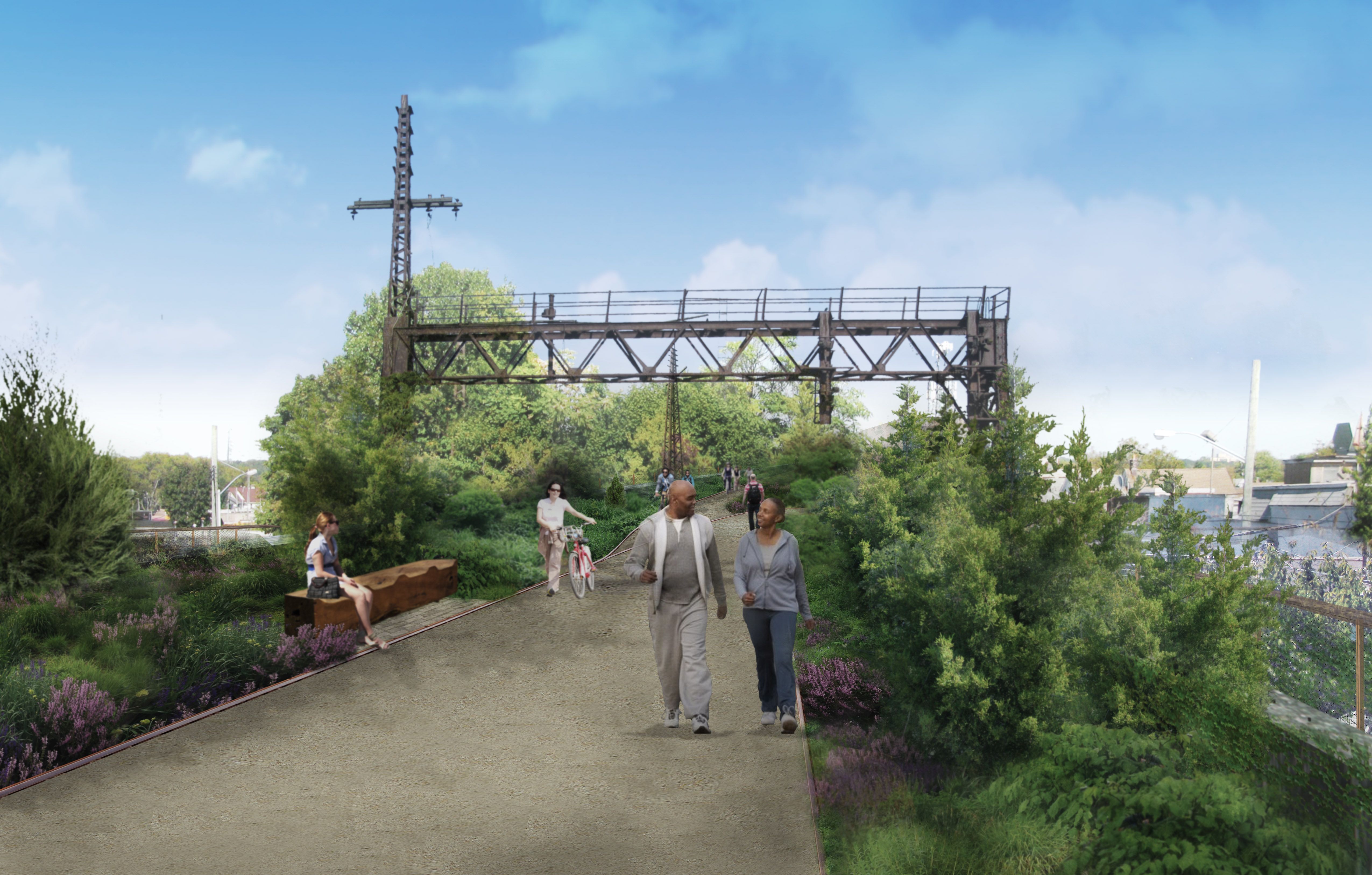
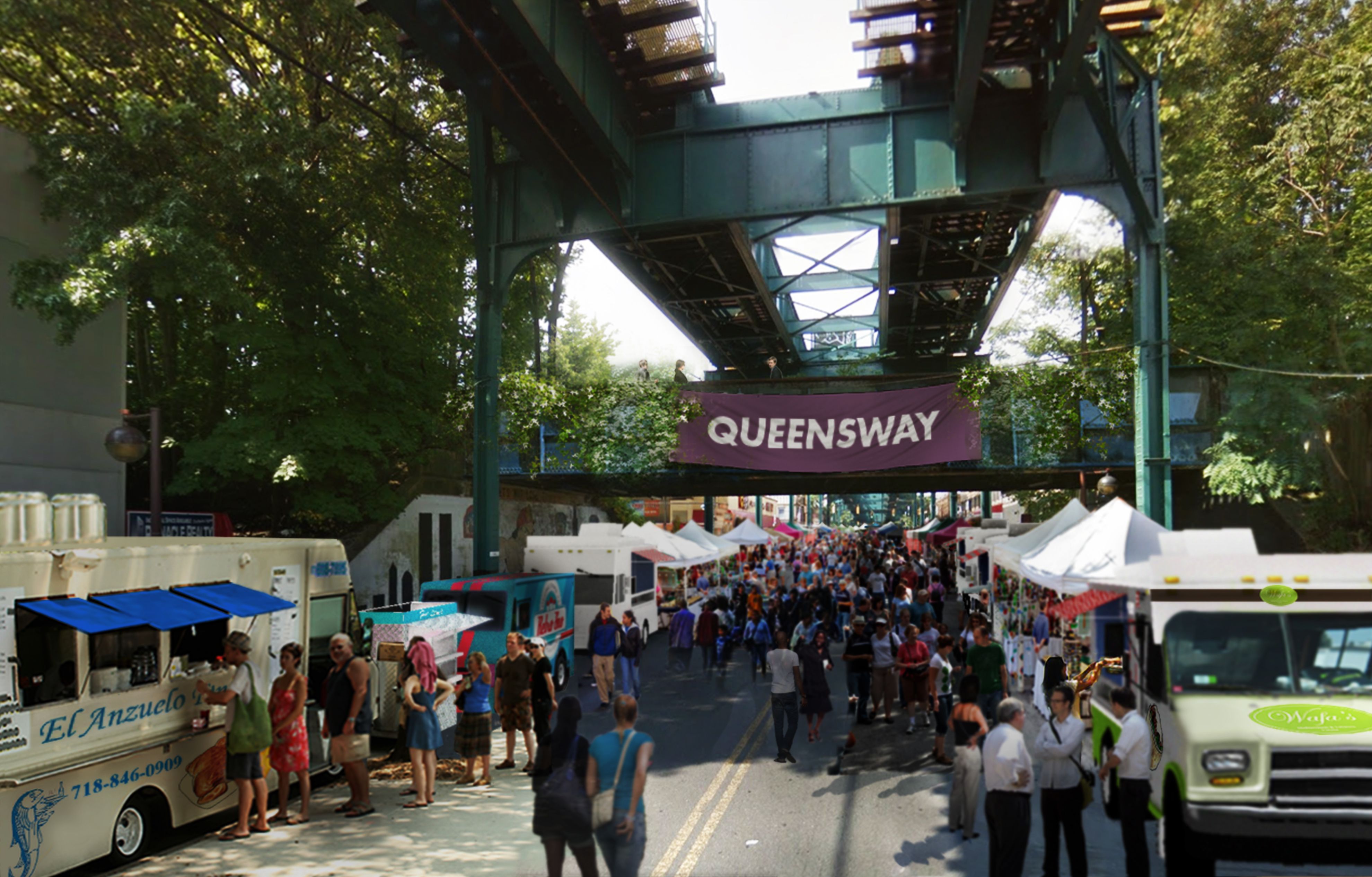
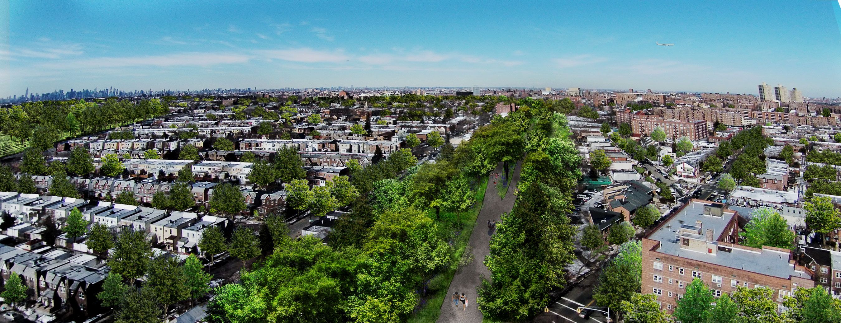
Once a 3.5 mile long rail line, the QueensWay reimagines the long abandoned path as a new linear park and cultural greenway through the heart of Central Queens.
Rendering by WXY
Informed by community-based planning initiatives, the current feasibility study looks at opportunities to convert a century-long neglected corridor into a publicly-accessible open space. Running through the neighborhoods of Rego Park, Forest Hills, Glendale, Richmond Hill, Woodhaven, and Ozone Park, the QueensWay connects adjacent communities to Forest Park, the borough’s third largest park, through a set of paths that vary from trail, to ravine, to elevated infrastructure.
Rendering by WXY
The financial feasibility of the plan was also thoroughly considered as a way to keep the project grounded and realistic. Cost being one of the major factors in the viability of the plan, the final estimates demonstrated a modest budget for a project of the QueensWay’s scale.
Rendering by WXY
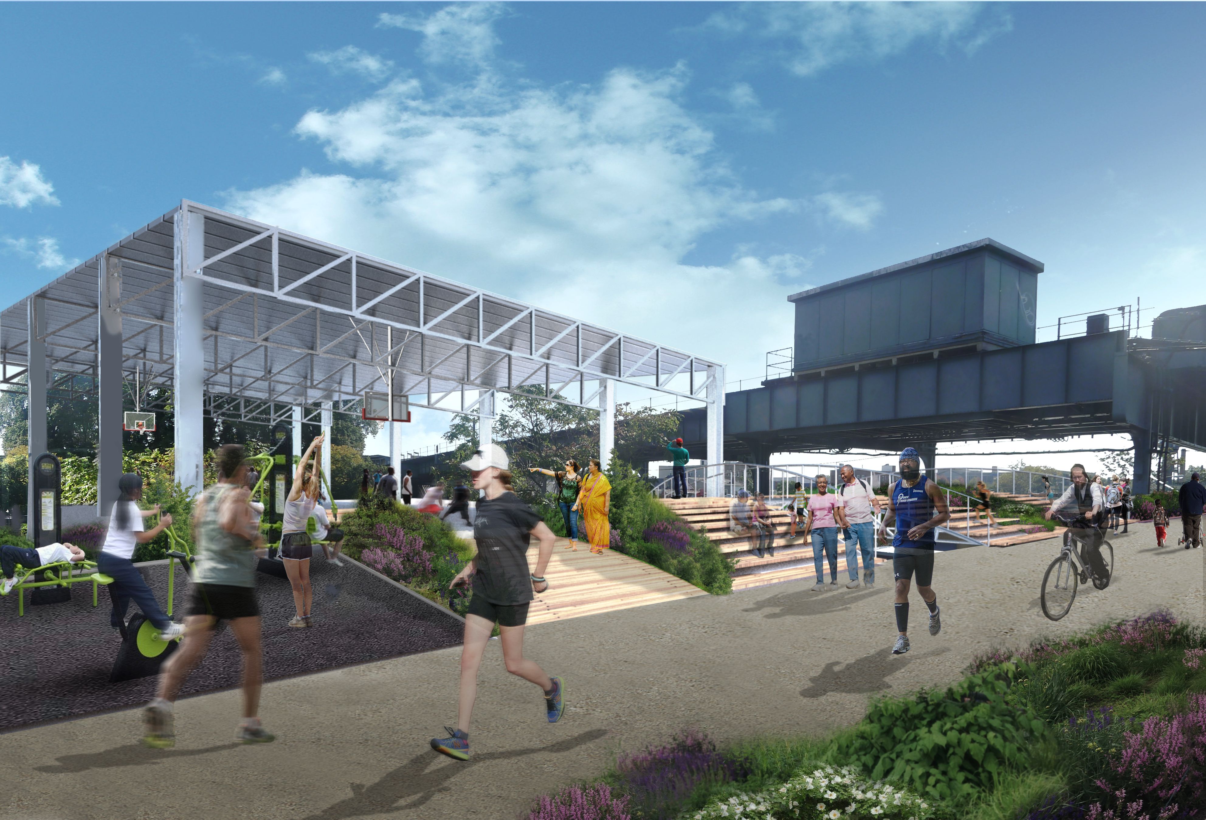
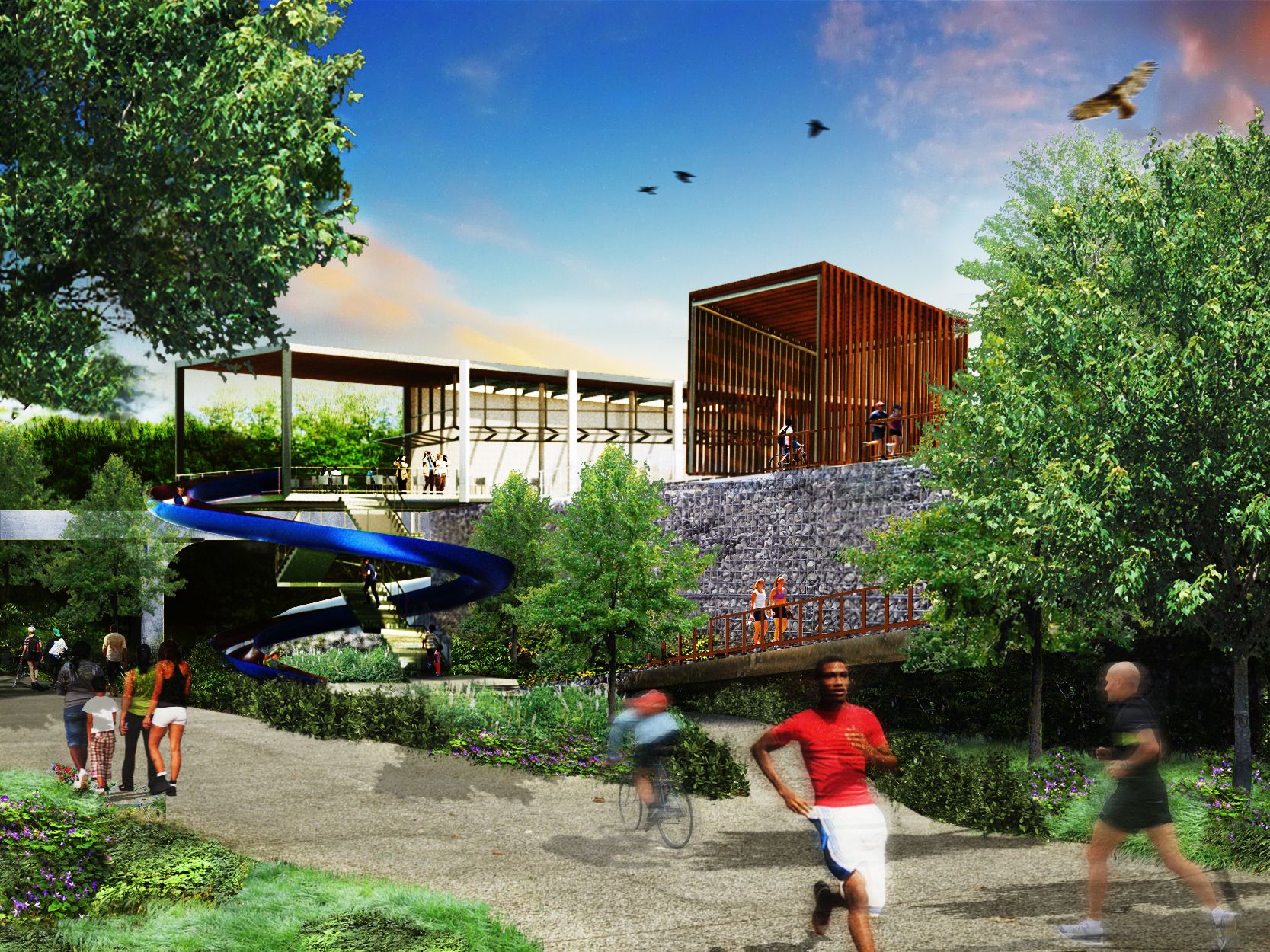
Working with DLANDStudio, the Trust for Public Land, and Friends of the QueensWay, recreational and educational activities were developed into a conceptual design with a consideration to safety, security, and impacts to the neighboring communities. The conceptual plan was released in 2014.
Aerial Rendering by WXY
Claire Weisz Architects LLP
d/b/a WXY architecture + urban design
212 219 1953
office@wxystudio.com
Careers ↗
New York
25 Park Place, 5th Floor
New York, NY 10007
Toronto
30 St. Patrick Street, 5th Floor
Toronto, ON M5T 3A3 Canada
Subscribe to our newsletter
Site designed by Clinton Van Arnam
Developed by Mario Giampieri