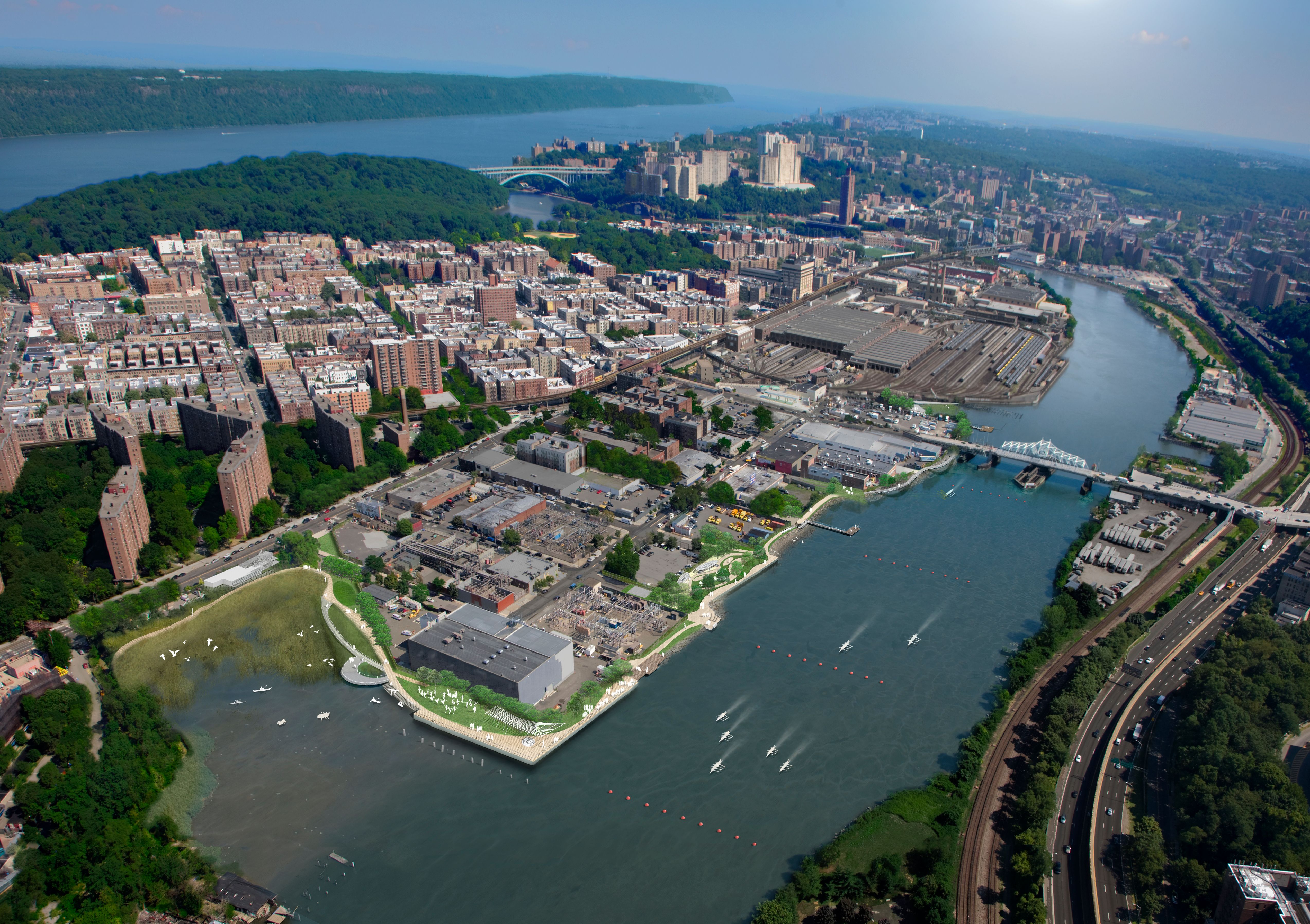
Aerial Rendering
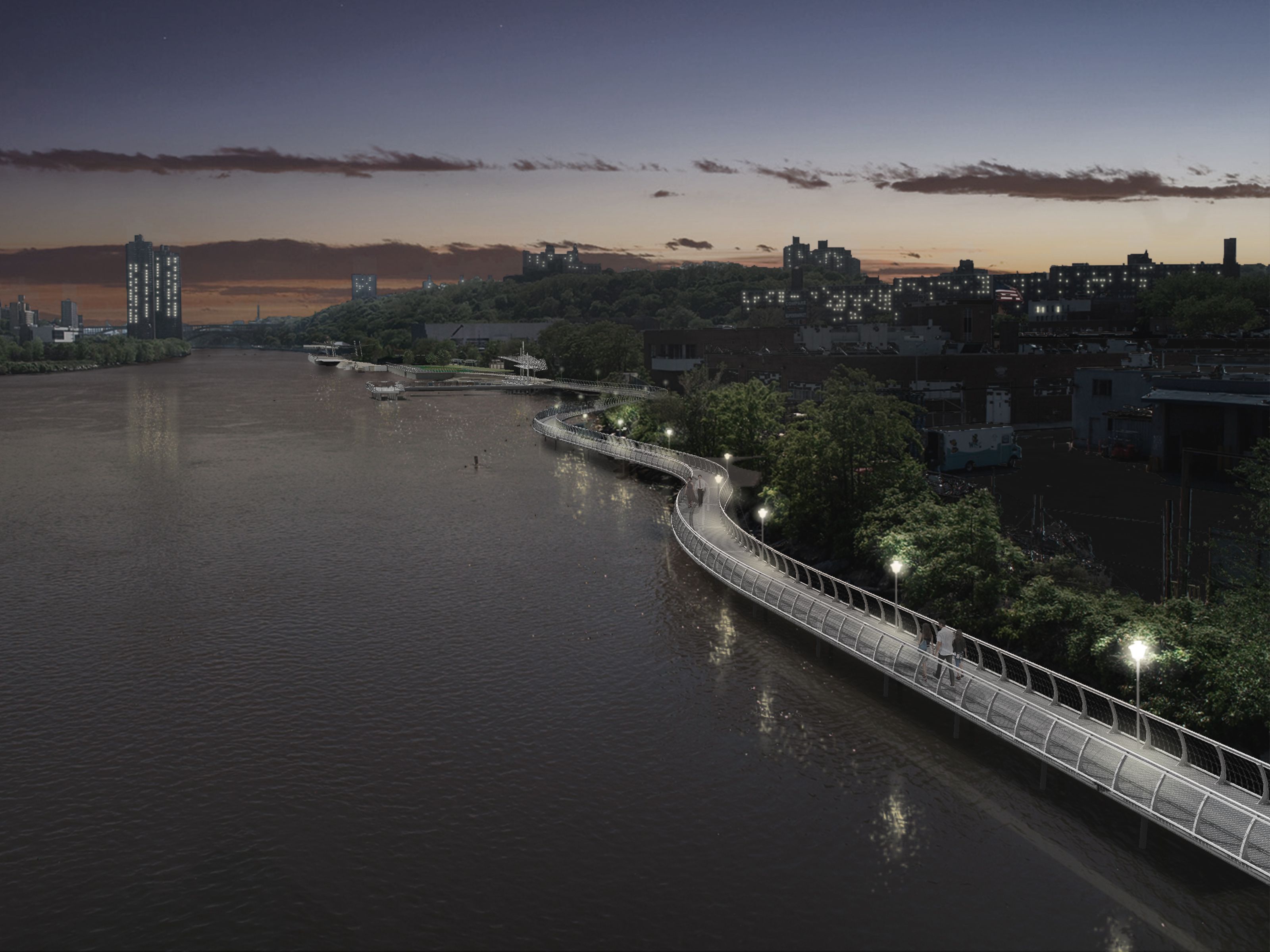
The Sherman Creek project reopens a long-inaccessible stretch of waterfront, connecting parks and neighborhoods through a continuous esplanade that activates the Harlem River and reconnects Inwood, Washington Heights, and the Bronx.
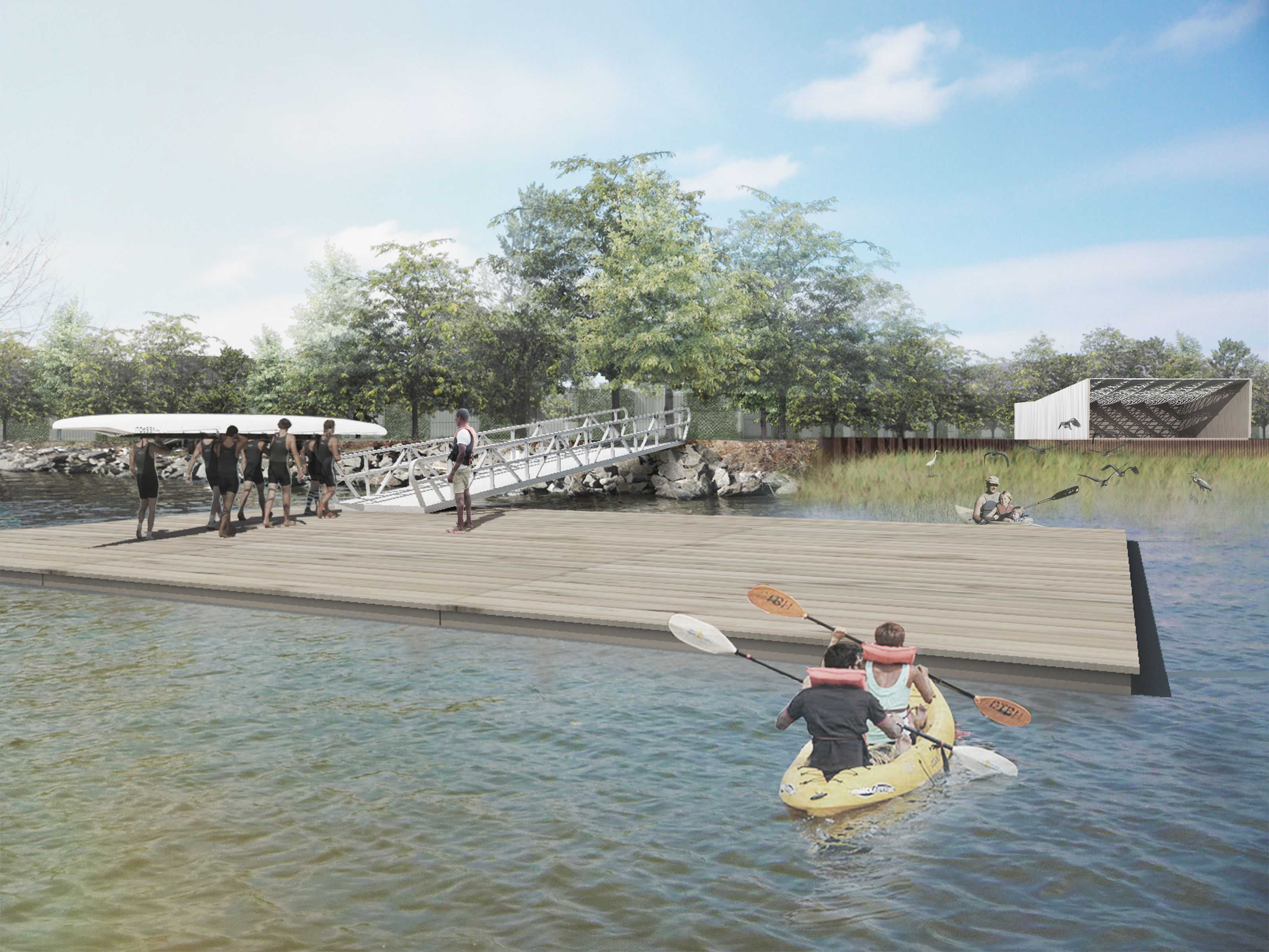
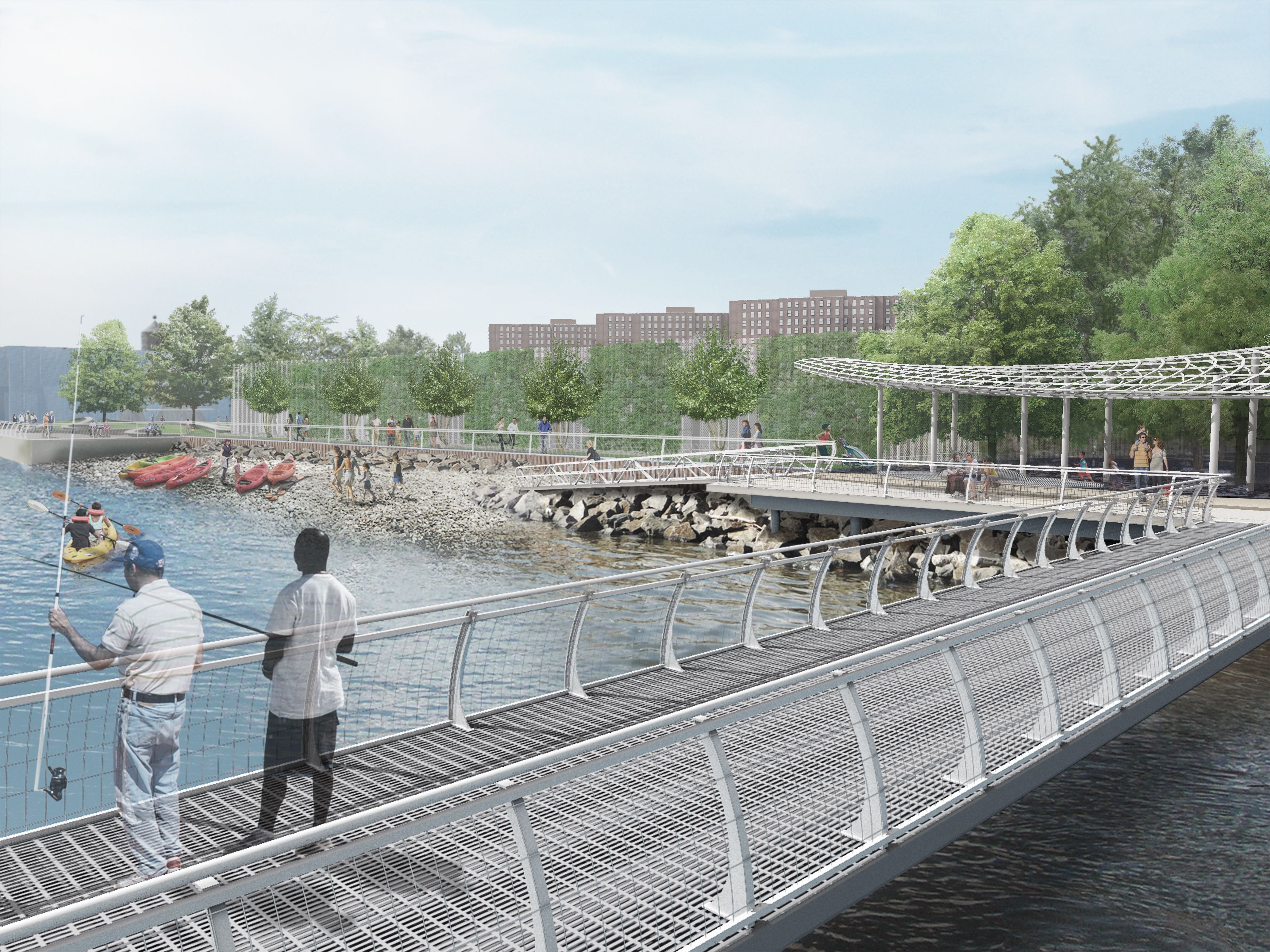
The plans will improve waterfront access and create a riverside esplanade (the “Malecón”) to connect five existing waterfront parks at the ends of 202nd to 206th Streets. Further connections to existing and planned greenway improvements in both upper Manhattan and adjacent areas in the Bronx will reconnect Sherman Creek to its surroundings, filling a local need and linking to recreational opportunities city-wide.
The Sherman Creek Waterfront project is a major civic opportunity for northern Manhattan and adjacent neighborhoods in the Bronx, focusing attention on the last undeveloped waterfront land left in Manhattan. Northern Manhattan’s upland is rich in parks, but access to the waterfront remains limited, particularly along the Harlem River. This stretch, long disconnected from the upland communities of Inwood and Washington Heights by topography and industrial lands, is rich in unexplored potential.
Rendering by WXY
Claire Weisz Architects LLP
d/b/a WXY architecture + urban design
212 219 1953
office@wxystudio.com
Careers ↗
New York
25 Park Place, 5th Floor
New York, NY 10007
Toronto
30 St. Patrick Street, 5th Floor
Toronto, ON M5T 3A3 Canada
Subscribe to our newsletter
Site designed by Clinton Van Arnam
Developed by Mario Giampieri